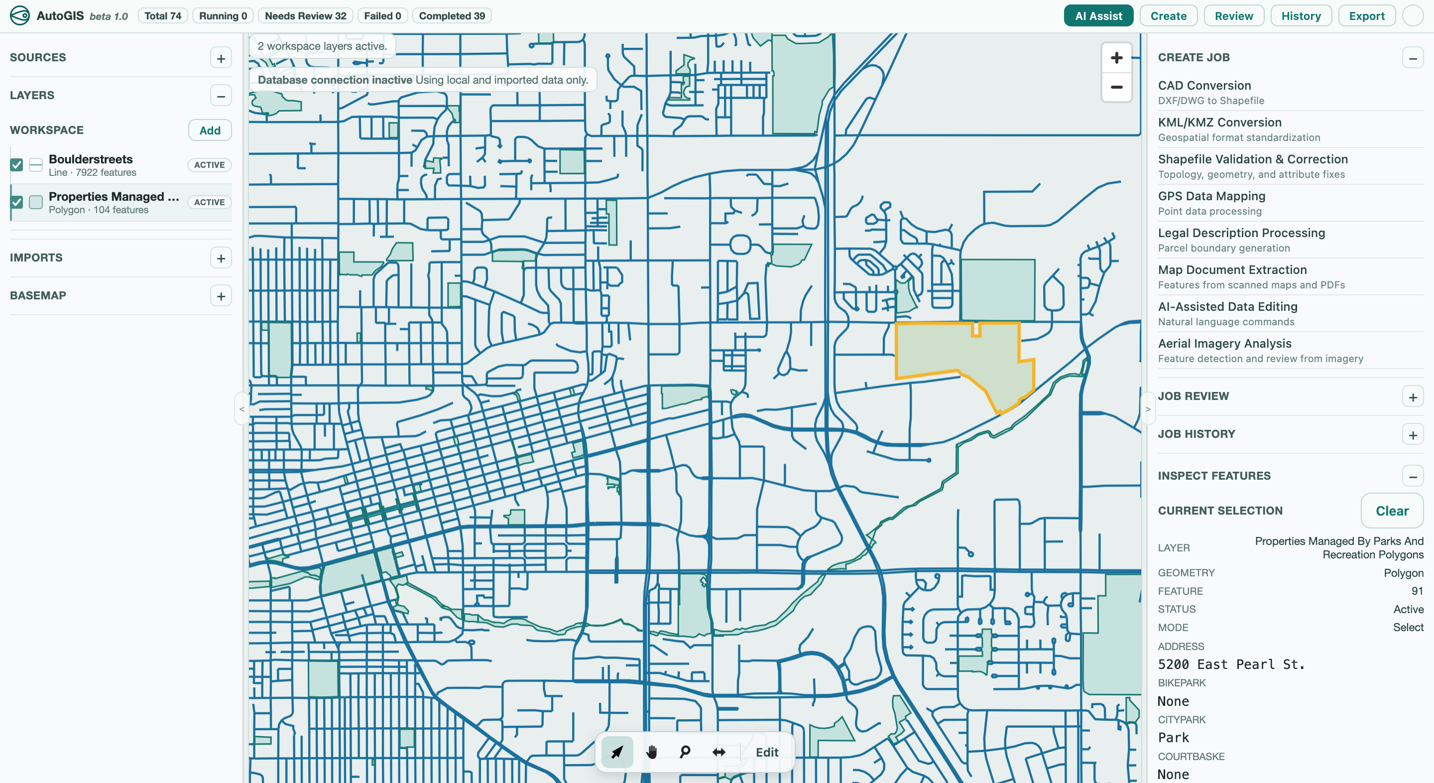
Geospatial Data Platform
Powered by Automation
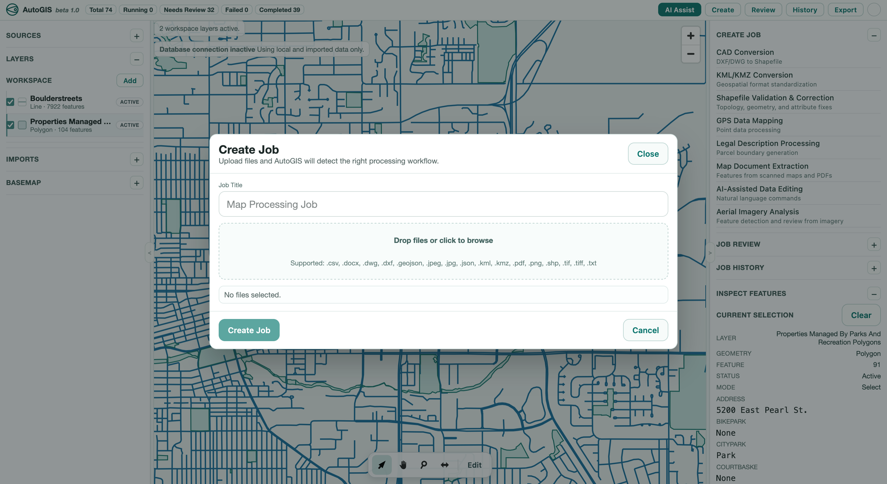
Upload
Process
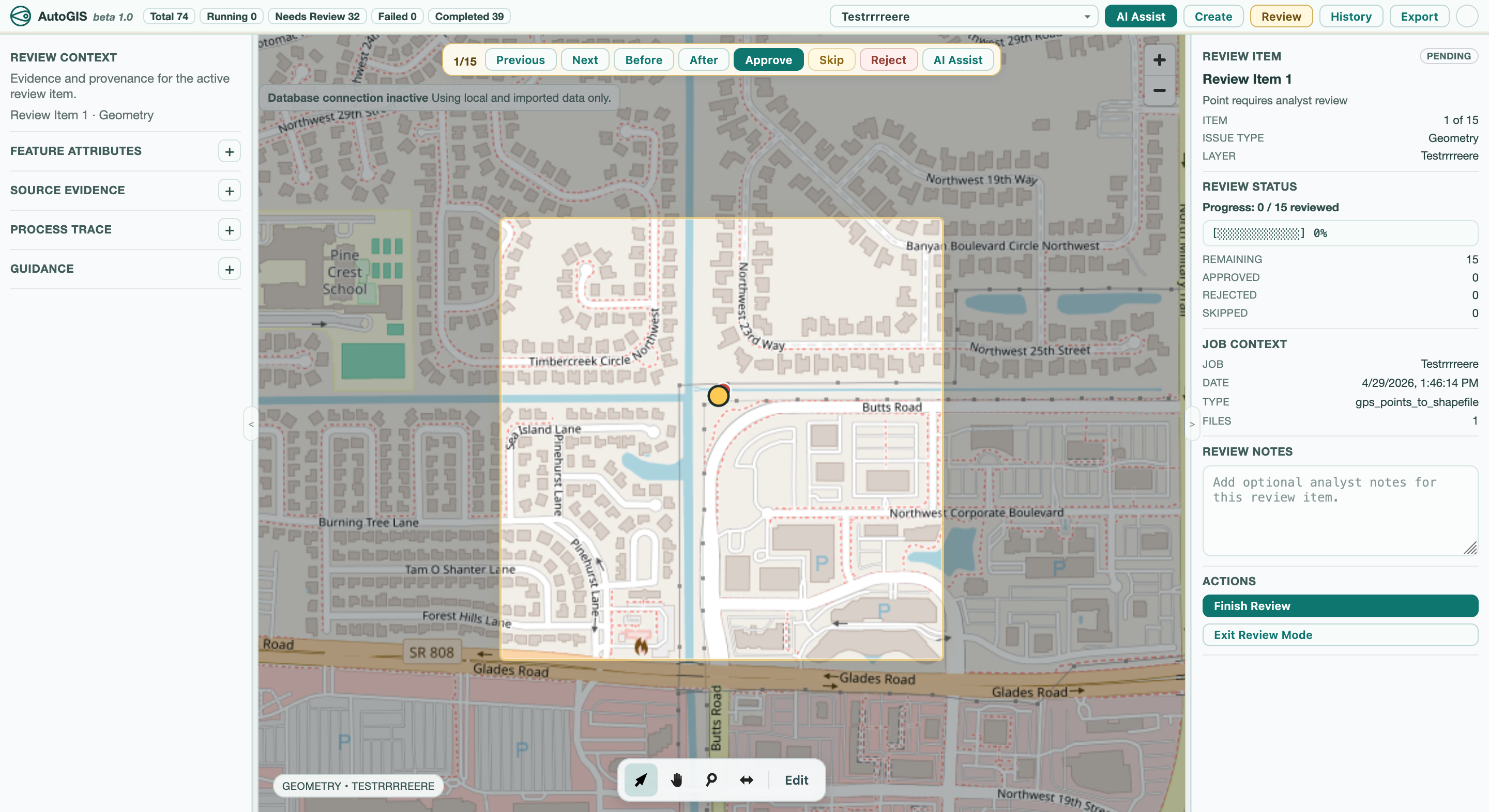
Review
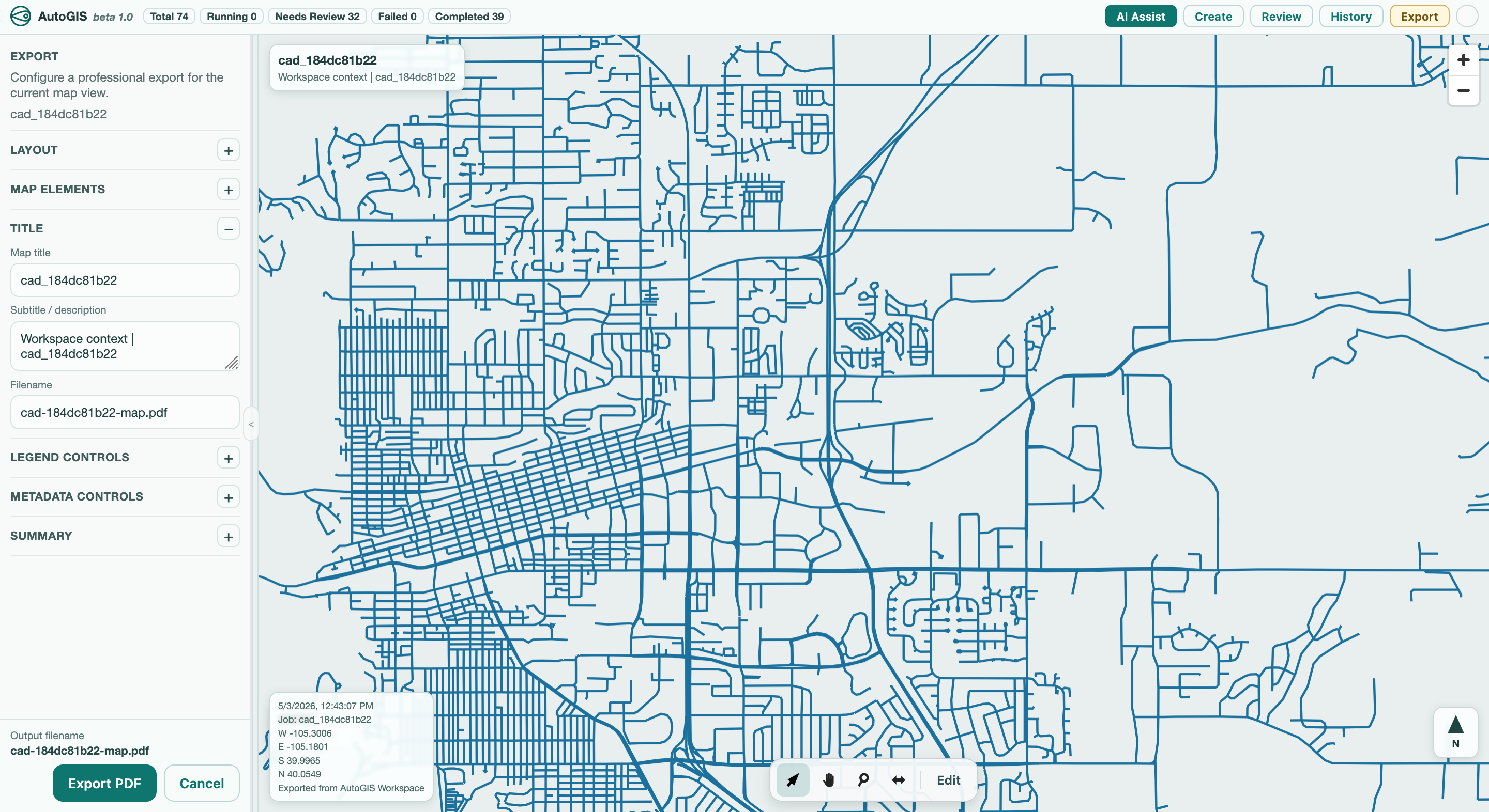
Deploy
Running